| BISSETTE ZACK ROYCE |
| BISSETTE CHARLOTTE MERCER |
|
| 6111 NC HWY 58 N |
|
| ELM CITY , NC 27822-9137 |
|
| Property
Location Address |
|
| Parcel
ID No. |
3733696484.000 |
| PIN |
3733 69 6484 000 |
| Owner ID |
69923440 |
| |
|
| Tax
District |
23 - C/SW/TOISNOT FD |
| |
| Land Use Code |
01 |
| Land Use Desc |
SINGLE FAMILY RESIDENTIAL |
| |
|
| Neighborhood |
8331 - TOISNOT |
|
| Legal
Desc |
4405 US 301 HWY N |
| |
TR-2&3 154.80AC |
| |
|
| Deed
Year Bk/Pg |
2015 - 2605 / 560 |
| Plat
Bk/Pg |
1 / 300 |
| |
Sales
Information |
| |
| Grantor |
REECE ANN STARNES |
| |
|
| Sold
Date |
2015-03-02 |
| Sold
Amount $ |
590,000 |
|
| |
| Market Value $ |
374,940
|
| |
|
Market
Value - Land and all permanent improvements,
if any, effective January 1, 2024, date
of County’s most recent General Reappraisal
|
|
| |
|
| Assessed Value $ |
265,230
|
| |
If
Assessed Value not equal Market Value then
subject parcel designated as a special
class -agricultural, horticultural, or
forestland and thereby eligible for taxation
on basis of Present-Use.
|
|
|
| Year
Built |
1935 |
| Built
Use/Style |
SFR-1.0 STY |
| Grade |
D+10 / D+10 GRADE |
| * Percent
Complete |
100 |
| Heated
Area (S/F) |
1,704 |
| Fireplace
(Y/N) |
N |
| Basement
(Y/N) |
N |
| ** Bedroom(s) |
3 |
| ** Bathroom(s) |
1 Full Bath(s) 0 Half Bath(s) |
| *** Multiple
Improvements |
001 |
*
Note - As of January 1
*
* Note - Bathroom(s), Bedroom(s), shown for description
only
* * * Note - If multiple improvements equal “MLT” then
parcel includes additional major improvements |
|
| Photo |
Photo 1
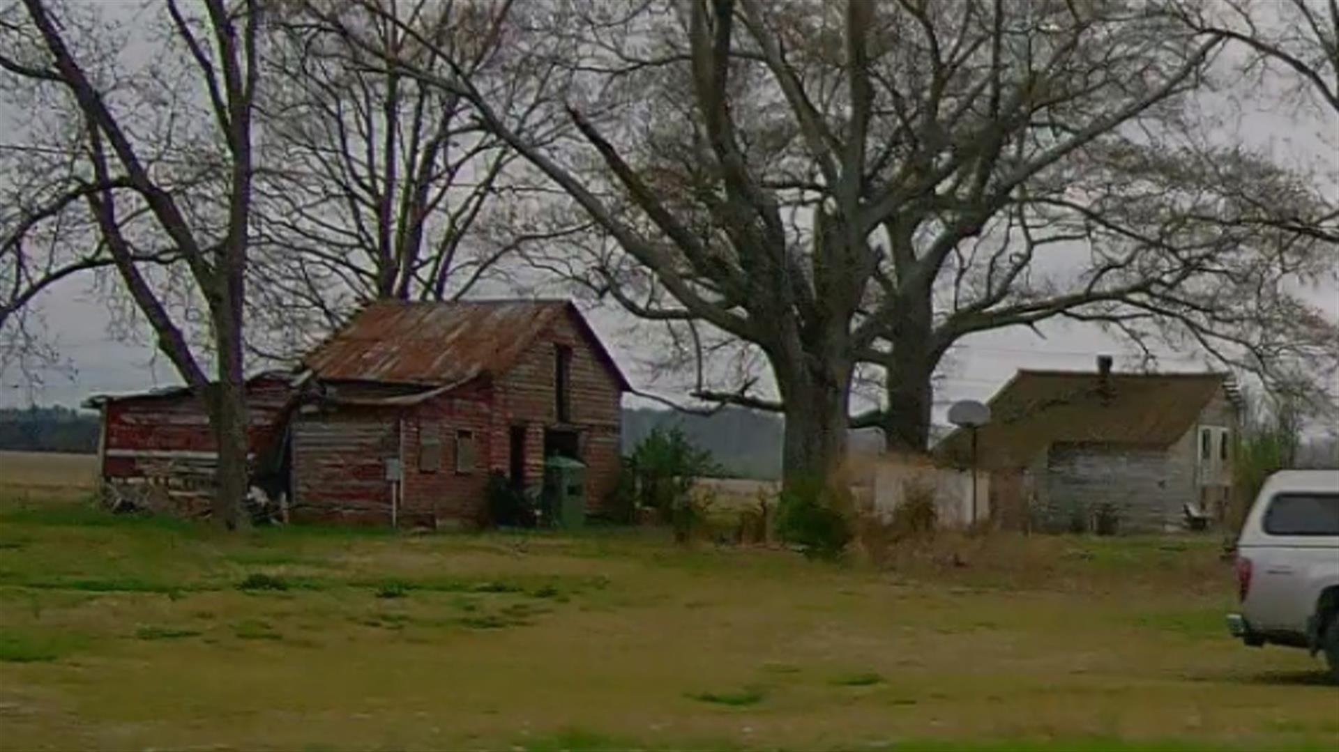 Photo 2

|
|
| Building
Sketch - NOTE: Sketches are updated the first day of every month. |
|
(Building 1) - Sketch for Parcel ID: 3733696484.000
NOTE: Sketches are updated the first day of every month.
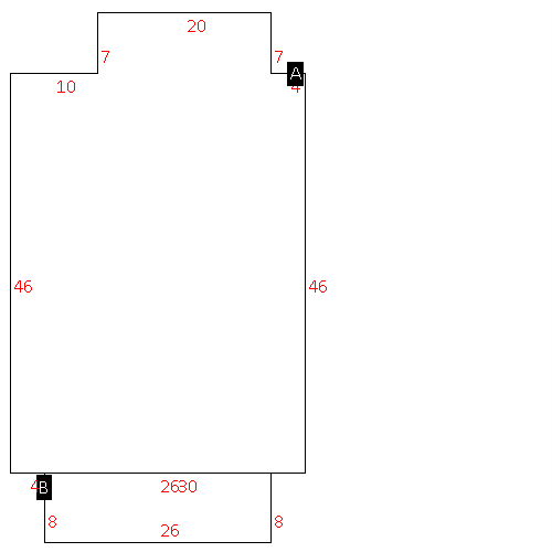 |
| Label |
Description |
Base SF |
Total SF |
| A |
SFR-1.0 STY |
1704.00 |
1704.00 |
| B |
PORCH-OPEN-FR |
208.00 |
.00 |
|
|
|
|
|
| Map Acres |
154.8 |
| Tax District Note |
23 - C/SW/TOISNOT FD |
| Present-Use Info |
SINGLE FAMILY RESIDENTIAL |
| Zoning Code |
AR |
| Zoning Desc |
AGRICUL-RESID 40M SF |
|
| Total Improvements Valuation
|
*Total Improvements Full Market Value $
|
**Total Improvements Assessed Value
|
81,227
|
81,227
|
*
Note - Market Value effective Date equal January 1, 2024, date of County’s most recent General
Reappraisal
** Note - If Assessed Value not equal Market Value then variance
resulting from formal appeal procedure |
|
| Land
Value Detail (Effective Date January 1, 2024, date
of County’s most recent General Reappraisal) |
Land
Full Value (LFV) $
|
Land
Present-Use Value (PUV) $ **
|
Land
Total Assessed Value $
|
293,713
|
184,003
|
184,003
|
| **
Note: If PUV equal LMV then parcel has
not qualified for present use program |
|
| Land
Detail (Effective Date January 1, 2024, date of County’s
most recent General Reappraisal) |
Rate Type |
Rate Code |
Description |
Quantity |
AC |
5010 |
RURAL HOMESITE PAVED |
2.000 |
|
|
|
.000 |
AC |
5111 |
MKT OPEN LD PVD CLASS 1 |
99.150 |
LU |
5110 |
|
99.150 |
AC |
5211 |
MKT OPEN LD PVD CLASS 2 |
2.200 |
LU |
5210 |
|
2.200 |
AC |
5411 |
MKT OPEN LD PVD CLASS 4 |
2.450 |
LU |
5410 |
|
2.450 |
AC |
6111 |
MKT WOODS PVD CLASS 1 |
6.650 |
LU |
6110 |
|
6.650 |
AC |
6211 |
MKT WOODS PVD CLASS 2 |
17.650 |
LU |
6210 |
|
17.650 |
AC |
6311 |
MKT WOODS PVD CLASS 3 |
24.700 |
LU |
6310 |
|
24.700 |
|
|
|
|
