| WOODARD FARM NO 1842 |
| PARTNERSHIP |
|
| PO BOX 1427 |
|
| WILSON , NC 27894-1427 |
|
| Property
Location Address |
|
| Parcel
ID No. |
3731733207.000 |
| PIN |
3731 73 3207 000 |
| Previous Parcel |
3731733207.01 |
| Owner ID |
69913212 |
| |
|
| Tax
District |
12 - C/SW/EAST NASH FD |
| |
| Land Use Code |
50 |
| Land Use Desc |
RURAL HOMESITE |
| |
|
| Neighborhood |
8382 - WILSON_SOUTH_A-1 |
|
| Legal
Desc |
3313 US 264A HWY E |
| |
610.47AC |
| |
|
| Deed
Year Bk/Pg |
2017 - 1380 / 319 |
| Plat
Bk/Pg |
/ |
| |
Sales
Information |
| |
| Grantor |
|
| |
|
| Sold
Date |
0--0 |
| Sold
Amount $ |
0 |
|
| |
| Market Value $ |
1,566,521
|
| |
|
Market
Value - Land and all permanent improvements,
if any, effective January 1, 2024, date
of County’s most recent General Reappraisal
|
|
| |
|
| Assessed Value $ |
603,738
|
| |
If
Assessed Value not equal Market Value then
subject parcel designated as a special
class -agricultural, horticultural, or
forestland and thereby eligible for taxation
on basis of Present-Use.
|
|
|
| Year
Built |
1925 |
| Built
Use/Style |
SFR-1.0 STY |
| Grade |
D+05 / |
| * Percent
Complete |
100 |
| Heated
Area (S/F) |
1,548 |
| Fireplace
(Y/N) |
N |
| Basement
(Y/N) |
N |
| ** Bedroom(s) |
3 |
| ** Bathroom(s) |
1 Full Bath(s) 0 Half Bath(s) |
| *** Multiple
Improvements |
001 |
*
Note - As of January 1
*
* Note - Bathroom(s), Bedroom(s), shown for description
only
* * * Note - If multiple improvements equal “MLT” then
parcel includes additional major improvements |
|
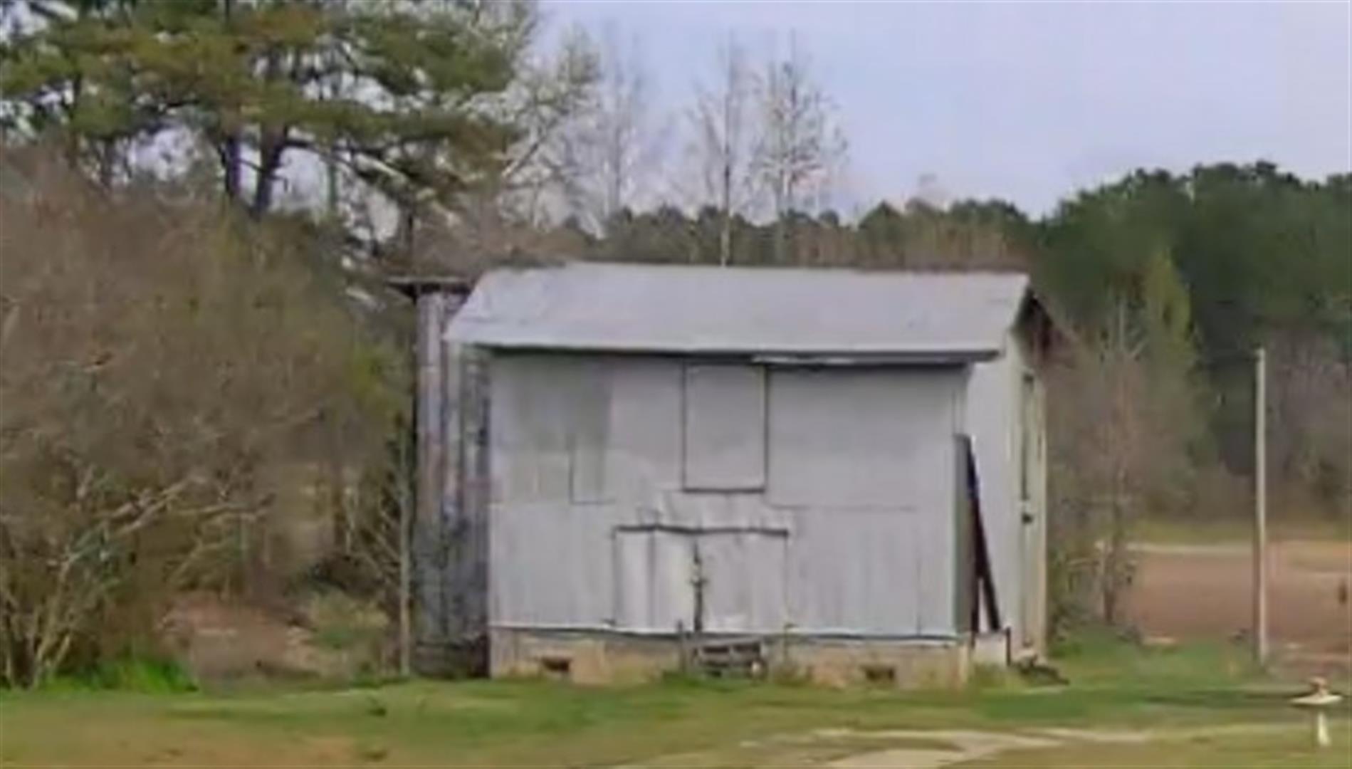
| Photo |
Photo 1
 Photo 2
 Photo 3
 Photo 4
|
|
| Building
Sketch - NOTE: Sketches are updated the first day of every month. |
|
(Building 1) - Sketch for Parcel ID: 3731733207.000
NOTE: Sketches are updated the first day of every month.
 |
| Label |
Description |
Base SF |
Total SF |
| A |
SFR-1.0 STY |
1548.00 |
1548.00 |
| B |
PORCH-ENCL-FR |
90.00 |
.00 |
| C |
PORCH-OPEN-MAS |
192.00 |
.00 |
|
|
|
|
|
| Map Acres |
610.47 |
| Tax District Note |
12 - C/SW/EAST NASH FD |
| Present-Use Info |
RURAL HOMESITE |
| Zoning Code |
RA |
| Zoning Desc |
RESIDENTAL AGRICULTURAL |
|
| Total Improvements Valuation
|
*Total Improvements Full Market Value $
|
**Total Improvements Assessed Value
|
90,453
|
90,453
|
*
Note - Market Value effective Date equal January 1, 2024, date of County’s most recent General
Reappraisal
** Note - If Assessed Value not equal Market Value then variance
resulting from formal appeal procedure |
|
| Land
Value Detail (Effective Date January 1, 2024, date
of County’s most recent General Reappraisal) |
Land
Full Value (LFV) $
|
Land
Present-Use Value (PUV) $ **
|
Land
Total Assessed Value $
|
1,476,068
|
513,285
|
513,285
|
| **
Note: If PUV equal LMV then parcel has
not qualified for present use program |
|
| Land
Detail (Effective Date January 1, 2024, date of County’s
most recent General Reappraisal) |
Rate Type |
Rate Code |
Description |
Quantity |
AC |
5010 |
RURAL HOMESITE PAVED |
1.000 |
|
|
|
.000 |
AC |
9952 |
CELL TOWER |
1.000 |
|
|
|
.000 |
AC |
0120 |
RURAL RESIDENTIAL ACREAGE |
203.020 |
LU |
5110 |
|
203.020 |
AC |
0120 |
RURAL RESIDENTIAL ACREAGE |
99.400 |
LU |
5210 |
|
99.400 |
AC |
0120 |
RURAL RESIDENTIAL ACREAGE |
14.650 |
LU |
5310 |
|
14.650 |
AC |
0120 |
RURAL RESIDENTIAL ACREAGE |
22.050 |
LU |
6110 |
|
22.050 |
AC |
0120 |
RURAL RESIDENTIAL ACREAGE |
32.390 |
LU |
6210 |
|
32.390 |
AC |
0120 |
RURAL RESIDENTIAL ACREAGE |
140.550 |
LU |
6310 |
|
140.550 |
AC |
9600 |
WASTELAND |
5.600 |
|
|
|
.000 |
AC |
0120 |
RURAL RESIDENTIAL ACREAGE |
7.020 |
LU |
6210 |
|
7.020 |
AC |
0120 |
RURAL RESIDENTIAL ACREAGE |
1.290 |
LU |
6310 |
|
1.290 |
AC |
0120 |
RURAL RESIDENTIAL ACREAGE |
66.290 |
LU |
5110 |
|
66.290 |
AC |
0120 |
RURAL RESIDENTIAL ACREAGE |
12.460 |
LU |
5310 |
|
12.460 |
AC |
0120 |
RURAL RESIDENTIAL ACREAGE |
3.750 |
LU |
6210 |
|
3.750 |
|
|
|
|
