|
|
| 1801 PURINA CIR S |
|
| WILSON , NC 27893-9590 |
|
| Property
Location Address |
|
| Parcel
ID No. |
3714180226.000 |
| PIN |
3714 18 0226 000 |
| Owner ID |
1115269 |
| |
|
| Tax
District |
14 - C/SW/SILVER LAKE FD |
| |
| Land Use Code |
29 |
| Land Use Desc |
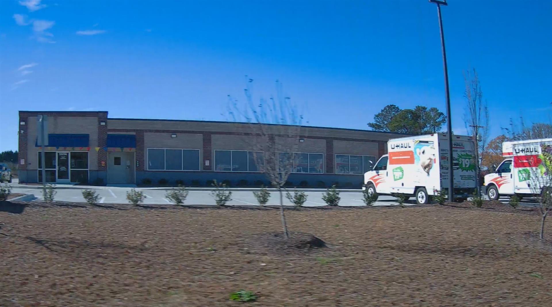
MINI-WAREHOUSE |
| |
|
| Neighborhood |
8379 - WILSON_NORTH |
|
| Legal
Desc |
5323 NC 58 HWY N |
| |
TR-1 6.47AC |
| |
|
| Deed
Year Bk/Pg |
2022 - 2770 / 56 |
| Plat
Bk/Pg |
3 / 78 |
| |
Sales
Information |
| |
| Grantor |
HOWARD ENTERPRISES INC |
| |
|
| Sold
Date |
2019-01-09 |
| Sold
Amount $ |
160,000 |
|
| |
| Market Value $ |
1,630,548
|
| |
|
Market
Value - Land and all permanent improvements,
if any, effective January 1, 2024, date
of County’s most recent General Reappraisal
|
|
| |
|
| Assessed Value $ |
1,630,548
|
| |
If
Assessed Value not equal Market Value then
subject parcel designated as a special
class -agricultural, horticultural, or
forestland and thereby eligible for taxation
on basis of Present-Use.
|
|
|
| Year
Built |
2021 |
| Built
Use/Style |
MINI-WAREHOUSES |
| Grade |
C-05 / |
| * Percent
Complete |
100 |
| Heated
Area (S/F) |
7,140 |
| Fireplace
(Y/N) |
N |
| Basement
(Y/N) |
N |
| ** Bedroom(s) |
0 |
| ** Bathroom(s) |
0 Full Bath(s) 0 Half Bath(s) |
| *** Multiple
Improvements |
007 |
*
Note - As of January 1
*
* Note - Bathroom(s), Bedroom(s), shown for description
only
* * * Note - If multiple improvements equal “MLT” then
parcel includes additional major improvements |
|
| Photo |
Photo 1
|
|
| Building
Sketch - NOTE: Sketches are updated the first day of every month. |
|
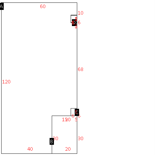
(Building 1) - Sketch for Parcel ID: 3714180226.000
NOTE: Sketches are updated the first day of every month.
 |
| Label |
Description |
Base SF |
Total SF |
|
|
(Building 2) - Sketch for Parcel ID: 3714180226.000
NOTE: Sketches are updated the first day of every month.
 |
| Label |
Description |
Base SF |
Total SF |
|
|
(Building 3) - Sketch for Parcel ID: 3714180226.000
NOTE: Sketches are updated the first day of every month.
 |
| Label |
Description |
Base SF |
Total SF |
| A |
WHSE |
13000.00 |
13000.00 |
|
|
(Building 4) - Sketch for Parcel ID: 3714180226.000
NOTE: Sketches are updated the first day of every month.
 |
| Label |
Description |
Base SF |
Total SF |
|
|
(Building 5) - Sketch for Parcel ID: 3714180226.000
NOTE: Sketches are updated the first day of every month.
 |
| Label |
Description |
Base SF |
Total SF |
|
|
|
|
|
| Map Acres |
6.47 |
| Tax District Note |
14 - C/SW/SILVER LAKE FD |
| Present-Use Info |
MINI-WAREHOUSE |
| Zoning Code |
GC |
| Zoning Desc |
GEN COMMERCIAL |
|
| Total Improvements Valuation
|
*Total Improvements Full Market Value $
|
**Total Improvements Assessed Value
|
1,525,764
|
1,525,764
|
*
Note - Market Value effective Date equal January 1, 2024, date of County’s most recent General
Reappraisal
** Note - If Assessed Value not equal Market Value then variance
resulting from formal appeal procedure |
|
| Land
Value Detail (Effective Date January 1, 2024, date
of County’s most recent General Reappraisal) |
Land
Full Value (LFV) $
|
Land
Present-Use Value (PUV) $ **
|
Land
Total Assessed Value $
|
104,784
|
104,784
|
104,784
|
| **
Note: If PUV equal LMV then parcel has
not qualified for present use program |
|
| Land
Detail (Effective Date January 1, 2024, date of County’s
most recent General Reappraisal) |
Rate Type |
Rate Code |
Description |
Quantity |
AC |
0700 |
COMMERCIAL |
3.000 |
|
|
|
.000 |
AC |
0121 |
RESIDUAL ACREAGE PAVED |
2.150 |
|
|
|
.000 |
AC |
9600 |
WASTELAND |
1.600 |
|
|
|
.000 |
|
|
|
|
