| BRYANT RANDOLPH |
| BRYANT GLADYS C |
|
| 202 US 301 HWY NW |
|
| LUCAMA , NC 27851-9349 |
|
| Property
Location Address |
|
| Parcel
ID No. |
2699312443.000 |
| PIN |
2699 31 2443 000 |
| Owner ID |
1111019 |
| |
|
| Tax
District |
3 - C/CILU-LUCAMA |
| |
| Land Use Code |
01 |
| Land Use Desc |
SINGLE FAMILY RESIDENTIAL |
| |
|
| Neighborhood |
8179 - LUCAMA_LI |
|
| Legal
Desc |
202 US 301 HWY NW |
| |
L8-A 1.00LT |
| |
|
| Deed
Year Bk/Pg |
2017 - 2726 / 684 |
| Plat
Bk/Pg |
/ |
| |
Sales
Information |
| |
| Grantor |
BRYANT RANDOLPH |
| |
|
| Sold
Date |
2017-12-22 |
| Sold
Amount $ |
0 |
|
| |
| Market Value $ |
224,628
|
| |
|
Market
Value - Land and all permanent improvements,
if any, effective January 1, 2024, date
of County’s most recent General Reappraisal
|
|
| |
|
| Assessed Value $ |
224,628
|
| |
If
Assessed Value not equal Market Value then
subject parcel designated as a special
class -agricultural, horticultural, or
forestland and thereby eligible for taxation
on basis of Present-Use.
|
|
|
| Year
Built |
1960 |
| Built
Use/Style |
SFR-1.0 STY W/ADDN |
| Grade |
C / C GRADE |
| * Percent
Complete |
100 |
| Heated
Area (S/F) |
3,919 |
| Fireplace
(Y/N) |
Y |
| Basement
(Y/N) |
N |
| ** Bedroom(s) |
6 |
| ** Bathroom(s) |
4 Full Bath(s) 1 Half Bath(s) |
| *** Multiple
Improvements |
001 |
*
Note - As of January 1
*
* Note - Bathroom(s), Bedroom(s), shown for description
only
* * * Note - If multiple improvements equal “MLT” then
parcel includes additional major improvements |
|
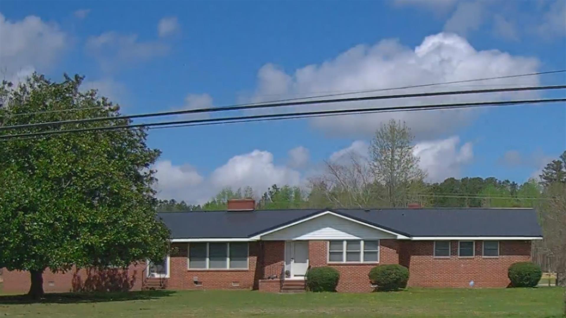
| Photo |
Photo 1
|
|
| Building
Sketch - NOTE: Sketches are updated the first day of every month. |
|
(Building 1) - Sketch for Parcel ID: 2699312443.000
NOTE: Sketches are updated the first day of every month.
 |
| Label |
Description |
Base SF |
Total SF |
| A |
SFR-1.0 STY |
3079.00 |
3079.00 |
| B |
STOOP-MAS |
48.00 |
.00 |
| C |
PORCH-OPEN-MAS |
8.00 |
.00 |
| D |
PORCH-OPEN-MAS |
36.00 |
.00 |
| E |
SFR-ADDT FR |
840.00 |
840.00 |
|
|
|
|
|
| Map Acres |
0.91 |
| Tax District Note |
3 - C/CILU-LUCAMA |
| Present-Use Info |
SINGLE FAMILY RESIDENTIAL |
| Zoning Code |
LI |
| Zoning Desc |
LIGHT INDUSTRIAL |
|
| Total Improvements Valuation
|
*Total Improvements Full Market Value $
|
**Total Improvements Assessed Value
|
204,809
|
204,809
|
*
Note - Market Value effective Date equal January 1, 2024, date of County’s most recent General
Reappraisal
** Note - If Assessed Value not equal Market Value then variance
resulting from formal appeal procedure |
|
| Land
Value Detail (Effective Date January 1, 2024, date
of County’s most recent General Reappraisal) |
Land
Full Value (LFV) $
|
Land
Present-Use Value (PUV) $ **
|
Land
Total Assessed Value $
|
19,819
|
19,819
|
19,819
|
| **
Note: If PUV equal LMV then parcel has
not qualified for present use program |
|
| Land
Detail (Effective Date January 1, 2024, date of County’s
most recent General Reappraisal) |
Rate Type |
Rate Code |
Description |
Quantity |
SF |
0600 |
INDUSTRIAL |
39639.600 |
|
|
|
.000 |
|
|
|
|
