|
|
| 6449 HUCKLEBERRY RD |
|
| LUCAMA , NC 27851 |
|
| Property
Location Address |
|
| Parcel
ID No. |
2698298349.000 |
| PIN |
2698 29 8349 000 |
| Owner ID |
1092611 |
| |
|
| Tax
District |
15 - C/SW/CROSSROADS FD |
| |
| Land Use Code |
50 |
| Land Use Desc |
RURAL HOMESITE |
| |
|
| Neighborhood |
8179 - LUCAMA_LI |
|
| Legal
Desc |
6601 BLALOCK RD |
| |
T1 21.06AC |
| |
|
| Deed
Year Bk/Pg |
2021 - 2599 / 485 |
| Plat
Bk/Pg |
/ |
| |
Sales
Information |
| |
| Grantor |
PENNINGTON DUSTIN M |
| |
MAYO PATRICK KELLY |
| Sold
Date |
2014-12-23 |
| Sold
Amount $ |
273,500 |
|
| |
| Market Value $ |
450,177
|
| |
|
Market
Value - Land and all permanent improvements,
if any, effective January 1, 2024, date
of County’s most recent General Reappraisal
|
|
| |
|
| Assessed Value $ |
94,948
|
| |
If
Assessed Value not equal Market Value then
subject parcel designated as a special
class -agricultural, horticultural, or
forestland and thereby eligible for taxation
on basis of Present-Use.
|
|
|
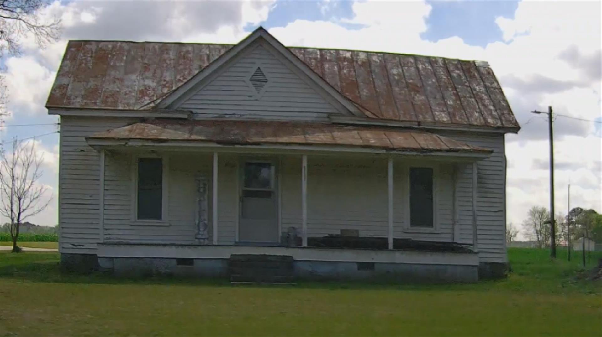
| Year
Built |
1910 |
| Built
Use/Style |
SFR-1.0 STY |
| Grade |
D+05 / D+05 GRADE |
| * Percent
Complete |
100 |
| Heated
Area (S/F) |
1,551 |
| Fireplace
(Y/N) |
N |
| Basement
(Y/N) |
N |
| ** Bedroom(s) |
2 |
| ** Bathroom(s) |
1 Full Bath(s) 0 Half Bath(s) |
| *** Multiple
Improvements |
001 |
*
Note - As of January 1
*
* Note - Bathroom(s), Bedroom(s), shown for description
only
* * * Note - If multiple improvements equal “MLT” then
parcel includes additional major improvements |
|
| Photo |
Photo 1
|
|
| Building
Sketch - NOTE: Sketches are updated the first day of every month. |
|
(Building 1) - Sketch for Parcel ID: 2698298349.000
NOTE: Sketches are updated the first day of every month.
 |
| Label |
Description |
Base SF |
Total SF |
| A |
SFR-1.0 STY |
1551.00 |
1551.00 |
| B |
UTILITY STG-FR |
35.00 |
.00 |
| C |
PORCH-OPEN-FR |
60.00 |
.00 |
| D |
PORCH-OPEN-FR |
140.00 |
.00 |
|
|
|
|
|
| Map Acres |
21.06 |
| Tax District Note |
15 - C/SW/CROSSROADS FD |
| Present-Use Info |
RURAL HOMESITE |
| Zoning Code |
LI |
| Zoning Desc |
LIGHT INDUSTRIAL |
|
| Total Improvements Valuation
|
*Total Improvements Full Market Value $
|
**Total Improvements Assessed Value
|
57,029
|
57,029
|
*
Note - Market Value effective Date equal January 1, 2024, date of County’s most recent General
Reappraisal
** Note - If Assessed Value not equal Market Value then variance
resulting from formal appeal procedure |
|
| Land
Value Detail (Effective Date January 1, 2024, date
of County’s most recent General Reappraisal) |
Land
Full Value (LFV) $
|
Land
Present-Use Value (PUV) $ **
|
Land
Total Assessed Value $
|
393,148
|
37,919
|
37,919
|
| **
Note: If PUV equal LMV then parcel has
not qualified for present use program |
|
| Land
Detail (Effective Date January 1, 2024, date of County’s
most recent General Reappraisal) |
Rate Type |
Rate Code |
Description |
Quantity |
SF |
0600 |
INDUSTRIAL |
142876.800 |
LU |
6110 |
|
3.280 |
SF |
0600 |
INDUSTRIAL |
149410.800 |
LU |
6210 |
|
3.430 |
SF |
0600 |
INDUSTRIAL |
43560.000 |
|
|
|
.000 |
SF |
0600 |
INDUSTRIAL |
300564.000 |
LU |
5110 |
|
6.900 |
SF |
0600 |
INDUSTRIAL |
280962.000 |
LU |
5210 |
|
6.450 |
|
|
|
|
