|
|
| 11124 CHRISTIAN RD |
|
| WILSON , NC 27896 |
|
| Property
Location Address |
|
| Parcel
ID No. |
3714276252.000 |
| PIN |
3714 27 6252 000 |
| Owner ID |
1060144 |
| |
|
| Tax
District |
14 - C/SW/SILVER LAKE FD |
| |
| Land Use Code |
02 |
| Land Use Desc |
MANUFACTURED HOME (DW) |
| |
|
| Neighborhood |
8207 - NC_58_RA-15S |
|
| Legal
Desc |
5246 A NC 58 HWY N |
| |
TR-3G G DEW LD 16.83AC |
| |
|
| Deed
Year Bk/Pg |
2010 - 2414 / 661 |
| Plat
Bk/Pg |
3 / 101 |
| |
Sales
Information |
| |
| Grantor |
|
| |
|
| Sold
Date |
0--0 |
| Sold
Amount $ |
0 |
|
| |
| Market Value $ |
96,076
|
| |
|
Market
Value - Land and all permanent improvements,
if any, effective January 1, 2024, date
of County’s most recent General Reappraisal
|
|
| |
|
| Assessed Value $ |
77,309
|
| |
If
Assessed Value not equal Market Value then
subject parcel designated as a special
class -agricultural, horticultural, or
forestland and thereby eligible for taxation
on basis of Present-Use.
|
|
|
| Year
Built |
0 |
| Built
Use/Style |
|
| Grade |
/ |
| * Percent
Complete |
0 |
| Heated
Area (S/F) |
0 |
| Fireplace
(Y/N) |
N |
| Basement
(Y/N) |
N |
| ** Bedroom(s) |
0 |
| ** Bathroom(s) |
0 Full Bath(s) 0 Half Bath(s) |
| *** Multiple
Improvements |
000 |
*
Note - As of January 1
*
* Note - Bathroom(s), Bedroom(s), shown for description
only
* * * Note - If multiple improvements equal “MLT” then
parcel includes additional major improvements |
|
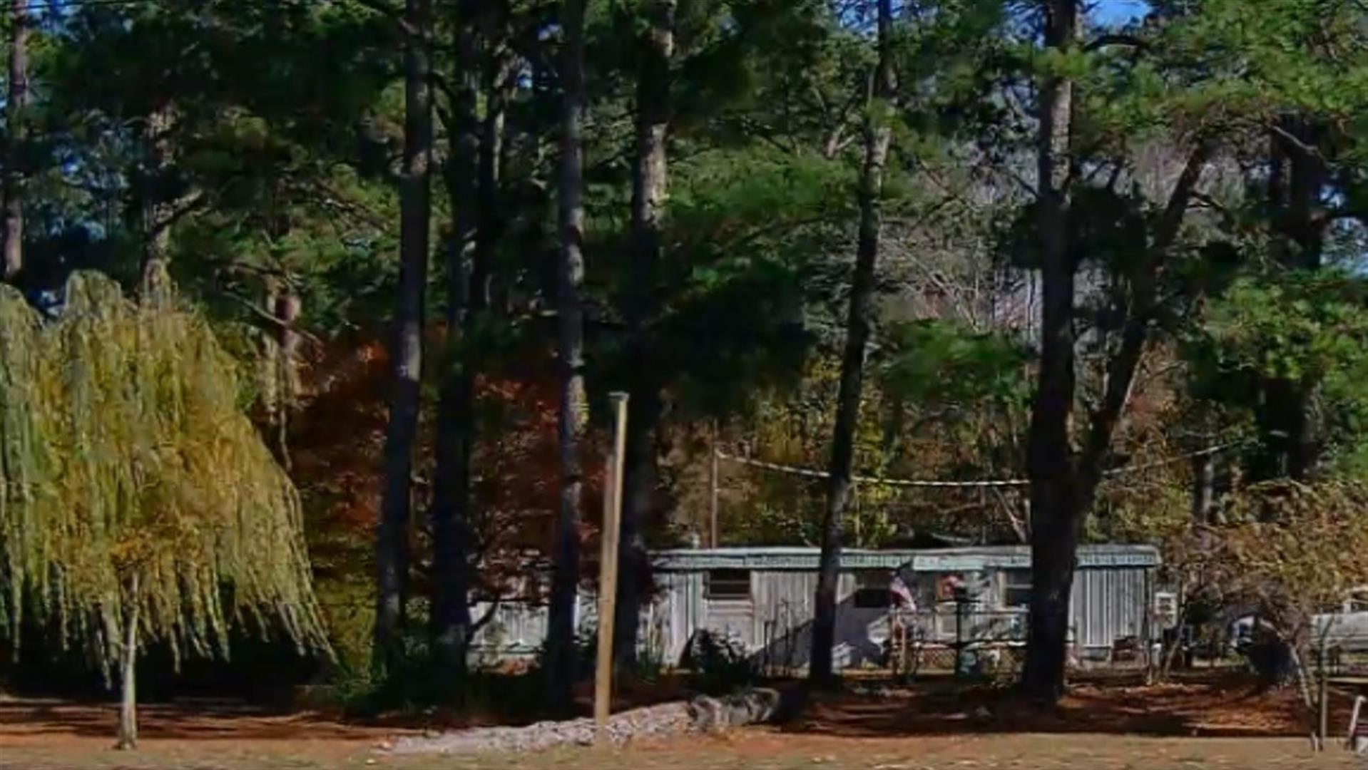
| Photo |
Photo 1
|
|
| Building
Sketch - NOTE: Sketches are updated the first day of every month. |
|
|
| Map Acres |
16.83 |
| Tax District Note |
14 - C/SW/SILVER LAKE FD |
| Present-Use Info |
MANUFACTURED HOME (DW) |
| Zoning Code |
SR4 |
| Zoning Desc |
SUB RES LOW DENSITY |
|
| Total Improvements Valuation
|
*Total Improvements Full Market Value $
|
**Total Improvements Assessed Value
|
11,501
|
11,501
|
*
Note - Market Value effective Date equal January 1, 2024, date of County’s most recent General
Reappraisal
** Note - If Assessed Value not equal Market Value then variance
resulting from formal appeal procedure |
|
| Land
Value Detail (Effective Date January 1, 2024, date
of County’s most recent General Reappraisal) |
Land
Full Value (LFV) $
|
Land
Present-Use Value (PUV) $ **
|
Land
Total Assessed Value $
|
84,575
|
65,808
|
65,808
|
| **
Note: If PUV equal LMV then parcel has
not qualified for present use program |
|
| Land
Detail (Effective Date January 1, 2024, date of County’s
most recent General Reappraisal) |
Rate Type |
Rate Code |
Description |
Quantity |
AC |
5010 |
RURAL HOMESITE PAVED |
1.000 |
|
|
|
.000 |
AC |
0120 |
RURAL RESIDENTIAL ACREAGE |
1.500 |
|
|
|
.000 |
AC |
5111 |
MKT OPEN LD PVD CLASS 1 |
1.100 |
|
|
|
.000 |
AC |
5111 |
MKT OPEN LD PVD CLASS 1 |
3.850 |
LU |
5110 |
|
3.850 |
AC |
5211 |
MKT OPEN LD PVD CLASS 2 |
2.150 |
LU |
5210 |
|
2.150 |
AC |
6111 |
MKT WOODS PVD CLASS 1 |
5.000 |
LU |
6110 |
|
5.000 |
AC |
6211 |
MKT WOODS PVD CLASS 2 |
2.230 |
LU |
6210 |
|
2.230 |
|
|
|
|
