| WEBB EDWARD BEASLEY |
| WEBB NELLIE |
|
| 4124 NC HWY 58 S |
|
| WILSON , NC 27893-7623 |
|
| Property
Location Address |
|
| Parcel
ID No. |
3649089306.000 |
| PIN |
3649 08 9306 000 |
| Owner ID |
99103260 |
| |
|
| Tax
District |
17 - C/SW/MOYTON FD |
| |
| Land Use Code |
50 |
| Land Use Desc |
RURAL HOMESITE |
| |
|
| Neighborhood |
8072 - CORBETT_ACRES |
|
| Legal
Desc |
EVANSDALE RD |
| |
L1 CORBETT LD 120.18AC |
| |
|
| Deed
Year Bk/Pg |
2013 - 2390 / 814 |
| Plat
Bk/Pg |
5 / 7 |
| |
Sales
Information |
| |
| Grantor |
|
| |
|
| Sold
Date |
0--0 |
| Sold
Amount $ |
0 |
|
| |
| Market Value $ |
323,162
|
| |
|
Market
Value - Land and all permanent improvements,
if any, effective January 1, 2024, date
of County’s most recent General Reappraisal
|
|
| |
|
| Assessed Value $ |
196,070
|
| |
If
Assessed Value not equal Market Value then
subject parcel designated as a special
class -agricultural, horticultural, or
forestland and thereby eligible for taxation
on basis of Present-Use.
|
|
|
| Year
Built |
0 |
| Built
Use/Style |
|
| Grade |
/ |
| * Percent
Complete |
0 |
| Heated
Area (S/F) |
0 |
| Fireplace
(Y/N) |
N |
| Basement
(Y/N) |
N |
| ** Bedroom(s) |
0 |
| ** Bathroom(s) |
0 Full Bath(s) 0 Half Bath(s) |
| *** Multiple
Improvements |
000 |
*
Note - As of January 1
*
* Note - Bathroom(s), Bedroom(s), shown for description
only
* * * Note - If multiple improvements equal “MLT” then
parcel includes additional major improvements |
|
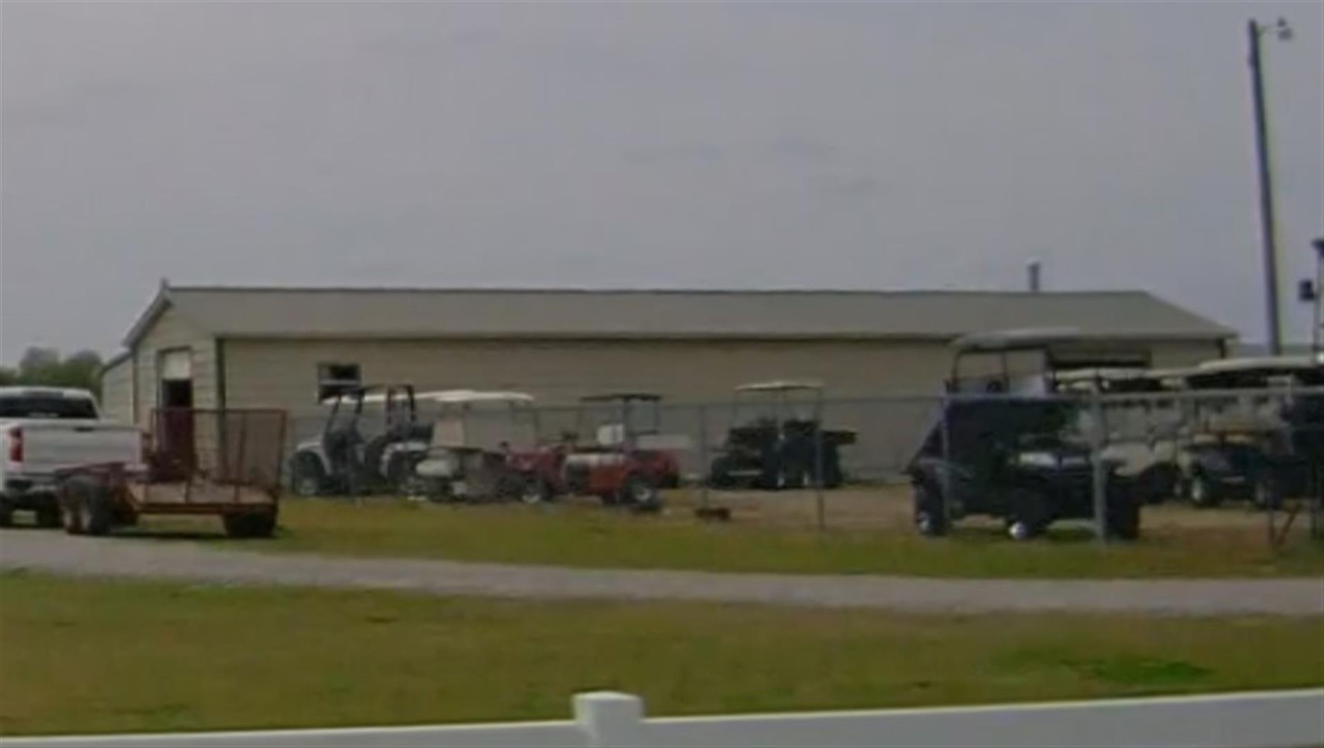
| Photo |
Photo 1
 Photo 2
|
|
| Building
Sketch - NOTE: Sketches are updated the first day of every month. |
|
|
| Map Acres |
120.18 |
| Tax District Note |
17 - C/SW/MOYTON FD |
| Present-Use Info |
RURAL HOMESITE |
| Zoning Code |
AR |
| Zoning Desc |
AGRICUL-RESID 40M SF |
|
| Total Improvements Valuation
|
*Total Improvements Full Market Value $
|
**Total Improvements Assessed Value
|
53,844
|
53,844
|
*
Note - Market Value effective Date equal January 1, 2024, date of County’s most recent General
Reappraisal
** Note - If Assessed Value not equal Market Value then variance
resulting from formal appeal procedure |
|
| Land
Value Detail (Effective Date January 1, 2024, date
of County’s most recent General Reappraisal) |
Land
Full Value (LFV) $
|
Land
Present-Use Value (PUV) $ **
|
Land
Total Assessed Value $
|
269,318
|
142,226
|
142,226
|
| **
Note: If PUV equal LMV then parcel has
not qualified for present use program |
|
| Land
Detail (Effective Date January 1, 2024, date of County’s
most recent General Reappraisal) |
Rate Type |
Rate Code |
Description |
Quantity |
AC |
5010 |
RURAL HOMESITE PAVED |
1.000 |
|
|
|
.000 |
AC |
0121 |
RESIDUAL ACREAGE PAVED |
89.130 |
LU |
5110 |
|
89.130 |
AC |
0121 |
RESIDUAL ACREAGE PAVED |
4.050 |
LU |
5310 |
|
4.050 |
AC |
0121 |
RESIDUAL ACREAGE PAVED |
8.900 |
LU |
6110 |
|
8.900 |
AC |
0121 |
RESIDUAL ACREAGE PAVED |
6.100 |
LU |
6210 |
|
6.100 |
AC |
0121 |
RESIDUAL ACREAGE PAVED |
11.000 |
LU |
6310 |
|
11.000 |
|
|
|
|
