|
|
| P O BOX 2048 |
|
| WILSON , NC 27893 |
|
| Property
Location Address |
|
| Parcel
ID No. |
2698697766.000 |
| PIN |
2698 69 7766 000 |
| Owner ID |
69913392 |
| |
|
| Tax
District |
15 - C/SW/CROSSROADS FD |
| |
| Land Use Code |
83 |
| Land Use Desc |
PUBLIC SCHOOLS |
| |
|
| Neighborhood |
8183 - LUCAMA_RA-20 |
|
| Legal
Desc |
6260 BLALOCK RD |
| |
21.00AC |
| |
|
| Deed
Year Bk/Pg |
1948 - 359 / 17 |
| Plat
Bk/Pg |
2 / 243 |
| |
Sales
Information |
| |
| Grantor |
|
| |
|
| Sold
Date |
0--0 |
| Sold
Amount $ |
0 |
|
| |
| Market Value $ |
4,026,677
|
| |
|
Market
Value - Land and all permanent improvements,
if any, effective January 1, 2024, date
of County’s most recent General Reappraisal
|
|
| |
|
| Assessed Value $ |
4,026,677
|
| |
If
Assessed Value not equal Market Value then
subject parcel designated as a special
class -agricultural, horticultural, or
forestland and thereby eligible for taxation
on basis of Present-Use.
|
|
|
| Year
Built |
1952 |
| Built
Use/Style |
SCHOOL- PUBLIC |
| Grade |
C / C GRADE |
| * Percent
Complete |
100 |
| Heated
Area (S/F) |
13,552 |
| Fireplace
(Y/N) |
N |
| Basement
(Y/N) |
N |
| ** Bedroom(s) |
0 |
| ** Bathroom(s) |
0 Full Bath(s) 0 Half Bath(s) |
| *** Multiple
Improvements |
006 |
*
Note - As of January 1
*
* Note - Bathroom(s), Bedroom(s), shown for description
only
* * * Note - If multiple improvements equal “MLT” then
parcel includes additional major improvements |
|
| Photo |
Photo 1
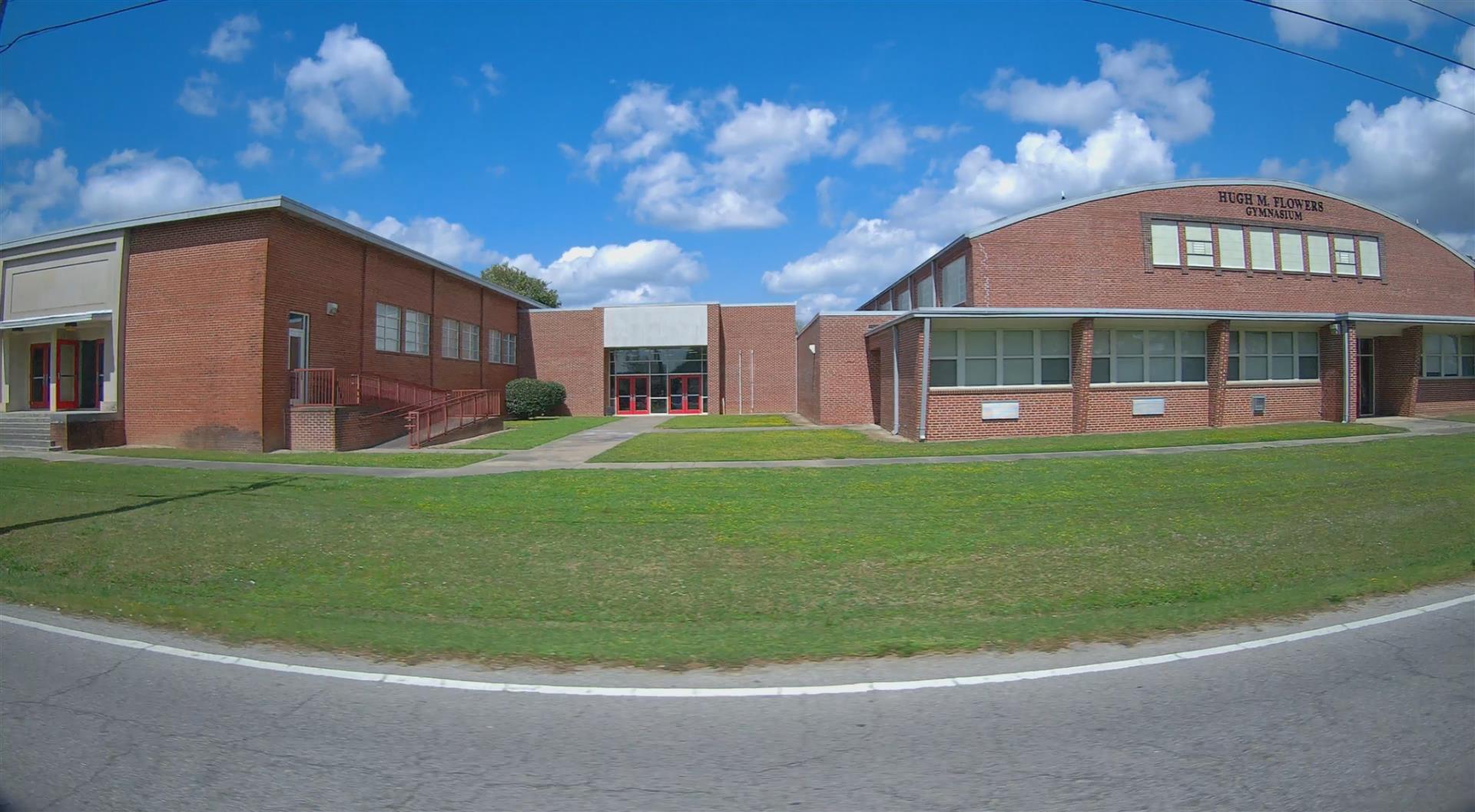
|
|
| Building
Sketch - NOTE: Sketches are updated the first day of every month. |
|
(Building 1) - Sketch for Parcel ID: 2698697766.000
NOTE: Sketches are updated the first day of every month.
 |
| Label |
Description |
Base SF |
Total SF |
| A |
SCHOOL-PUBLIC |
9728.00 |
9728.00 |
| B |
UTILITY STG-FR |
140.00 |
.00 |
| C |
UTILITY STG-FR |
140.00 |
.00 |
|
|
(Building 2) - Sketch for Parcel ID: 2698697766.000
NOTE: Sketches are updated the first day of every month.
 |
| Label |
Description |
Base SF |
Total SF |
| A |
SCHOOL-PUBLIC |
6880.00 |
6880.00 |
|
|
(Building 3) - Sketch for Parcel ID: 2698697766.000
NOTE: Sketches are updated the first day of every month.
 |
| Label |
Description |
Base SF |
Total SF |
| A |
SCHOOL-PUBLIC |
13552.00 |
13552.00 |
|
|
(Building 4) - Sketch for Parcel ID: 2698697766.000
NOTE: Sketches are updated the first day of every month.
 |
| Label |
Description |
Base SF |
Total SF |
| A |
SCHOOL-PUBLIC |
9196.00 |
9196.00 |
|
|
(Building 5) - Sketch for Parcel ID: 2698697766.000
NOTE: Sketches are updated the first day of every month.
 |
| Label |
Description |
Base SF |
Total SF |
| A |
SCHOOL-PUBLIC |
2700.00 |
2700.00 |
|
|
(Building 6) - Sketch for Parcel ID: 2698697766.000
NOTE: Sketches are updated the first day of every month.
 |
| Label |
Description |
Base SF |
Total SF |
| A |
SCHOOL-PUBLIC |
4536.00 |
4536.00 |
|
|
|
|
|
| Map Acres |
21 |
| Tax District Note |
15 - C/SW/CROSSROADS FD |
| Present-Use Info |
PUBLIC SCHOOLS |
| Zoning Code |
RA20 |
| Zoning Desc |
RESIDENTIAL 20000 SF LUC |
|
| Total Improvements Valuation
|
*Total Improvements Full Market Value $
|
**Total Improvements Assessed Value
|
3,898,677
|
3,898,677
|
*
Note - Market Value effective Date equal January 1, 2024, date of County’s most recent General
Reappraisal
** Note - If Assessed Value not equal Market Value then variance
resulting from formal appeal procedure |
|
| Land
Value Detail (Effective Date January 1, 2024, date
of County’s most recent General Reappraisal) |
Land
Full Value (LFV) $
|
Land
Present-Use Value (PUV) $ **
|
Land
Total Assessed Value $
|
128,000
|
128,000
|
128,000
|
| **
Note: If PUV equal LMV then parcel has
not qualified for present use program |
|
| Land
Detail (Effective Date January 1, 2024, date of County’s
most recent General Reappraisal) |
Rate Type |
Rate Code |
Description |
Quantity |
AC |
8300 |
SCHOOLS, PUBLIC |
5.000 |
|
|
|
.000 |
AC |
5111 |
MKT OPEN LD PVD CLASS 1 |
8.000 |
|
|
|
.000 |
AC |
6111 |
MKT WOODS PVD CLASS 1 |
8.000 |
|
|
|
.000 |
|
|
|
|
